Visualization
In Pathfinder all infrastructure objects and components are visualized in a top-down perspective. This perspective contains four layers nested within each other: locations, buildings, floors and rooms. The respective layers have various visual customization options for the network design.
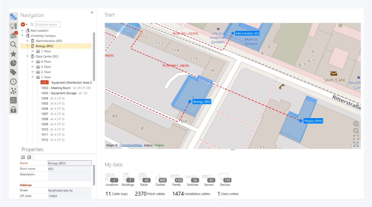
The top view of each layer includes the background image on which all elements of the next layer are displayed. For example, the floors are displayed as the top view inside buildings, rooms inside floors and so on. For background images, raster formats (.jpeg, .png etc.) and vector formats (AutoCAD, .dwg, .svg) are supported. By default the map will be used instead of a background image for locations.
If you want to add objects in the top view, select the corresponding option from the context menu.
Visualization in detail: